Czech O-map Archive and Database
|
Archive of Maps for Orienteering is a section of Centre for Orienteering History and it is created for Czech Orienteering Federation. There are more than 4200 maps made specialy for orienteering on the area of the Czech Republic since mid sixties. Collection and documentation of them carries Zdenek Lenhart since 1997. Private donations are the most often sources for the archive, there are many donnors. Archive collection contains 4722 titels. Maps present in archive are described in the database by full verified data, especialy: Full database is free. You can download it in formats:
Last update 24. 12. 2007
Questions, comments, donations are wellcome:
Zdeněk Lenhart, Absolonova 12, 624 00 Brno, tel. 603 741 714,
Moravské zemské muzeum, Zelný trh 6, 659 37 Brno, tel. 533 435 268, e-mail |
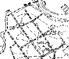
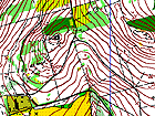
Some interests from archiv: The oldest Czech map for orienteering from 1964: Holedná (Brno)
(600×500, 11 kB)
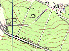
Previously used military map (Aš)
(520×385, 125 kB)
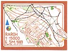
The smallest map from archiv: Raroh (Brno)
(600×450, 75 kB)
The actual map from archiv: Zbozenské rybníky (Zlín)
(600×450, 30 kB)
|
